You must log in or # to comment.
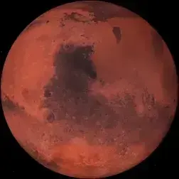
One of the most impressive images the researchers captured links radar reflections below ground to topographic expressions visible above it. In effect, the figure shows how layers traced in the radar extend into features exposed in the landscape today, helping the team connect buried stratigraphy to landforms the rover can see with other payload instruments.
That’s actually huge, and even if not exact can be used to paint a much larger picture of the whole planet rather than just where the river can visit