- 6 Posts
- 19 Comments


 6·1 year ago
Would this work like an open-source strava alternative?
It depends a bit on your use case. If you want track your progress on certain trails/tracks, then yes. Although, wanderer currently does not support metrics like heart rate or calories.
wanderer comes with a strava integration that helps you sync your data from strava to wanderer.

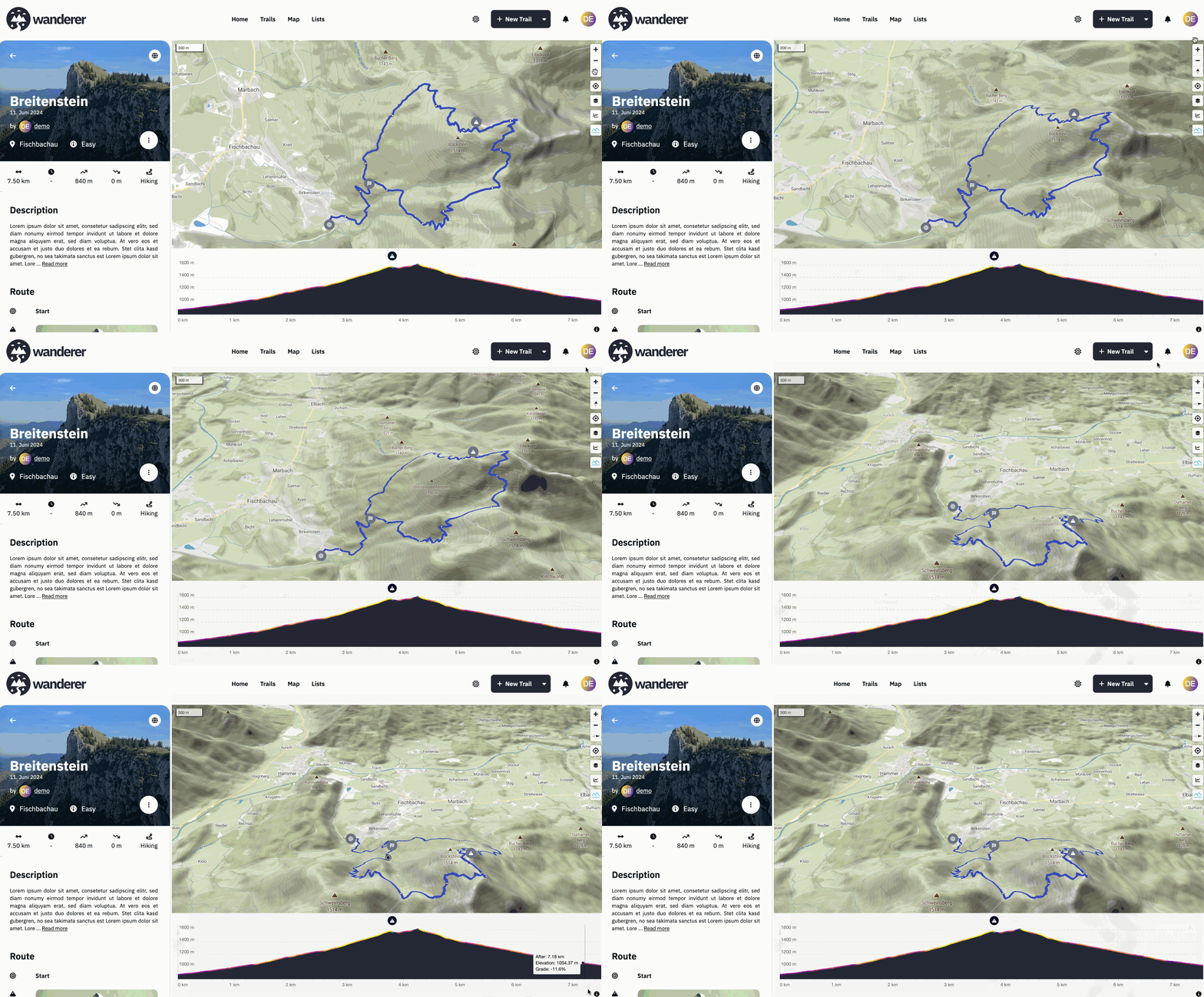
- There is a mountain symbol on the map. Press it to activate the terrain. Drag the compass needle to tilt the map
- Thanks, fixed,
- A public trail is visible to everyone, including non-registered users. A shared trail is only visible (or editable) for the users you share the trail with
- If you add a summit log to a trail it is considered “completed”
- Can you provide a full error stack trace, please?
Thank you very much! Really appreciate the kind words :)
Recording is currently not possible with wanderer itself. I personally use osmAnd to record my trails and import them into wanderer. If you don’t want to expose wanderer to the public your friends would need to send you their trails, yes. But I guess that’s no different with any other service.
Yes, bulk imports are supported. You will need to download them from GOSLogger first though.
Currently no. I really like Dawarich for this purpose and I feel like I wouldn’t be able to add much.

I really love working with PocketBase. It gives you such a headstart, but also is highly customizable. It’s really the best of both worlds.
Or use the demo ;)
Cool! I always recommend OsmAnd.
With docker you can simply change the port mapping in the compose file
That’s strange, I never had that happen. If you have the time could you please open an issue on GitHub?
Absolutely all help is welcome. Please check out the roadmap for my current plans. I’d be delighted if you could add your Dutch translation here: https://translate.codeberg.org/projects/wanderer/wanderer/nl/
Dank je wel!
Speed statistics were added in v0.2.0. Hopefully also with some bugfixes.
Absolutely. I have it running on a Pi 5 and that’s more than enough. You only need 1GB of RAM when first starting wanderer. After that it sits at around 100Mb.
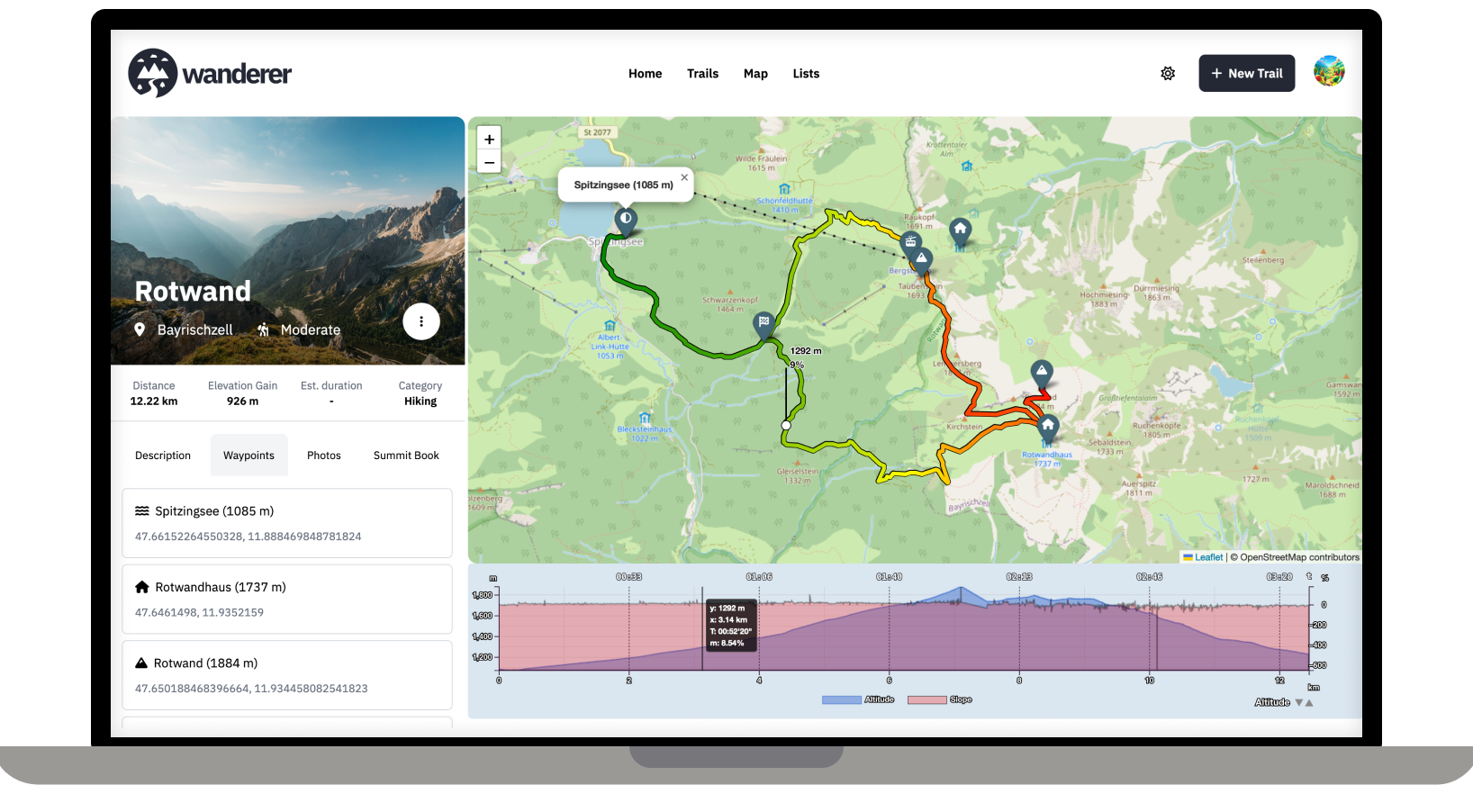
Currently wanderer supports visualising duration, distance, elevation gain and speed. Support for heart rate is planned. It can display a graph (the one you see in the screenshot) and also calculates an average.
You can also install it directly on your machine: https://github.com/Flomp/wanderer/wiki/Installation#from-source
It’s just much more tedious imo.
You can use whatever device you prefer. In the end, you simply need a GPX file that you upload through the web UI or the API. I am planning to support other formats like KML soon, though.
System requirements should be quite low. On the first startup you will need ~1GB of RAM. After that, the whole stack sits at around 100MB on my machine.
I’m not sure if I understand your question correctly. Do you mean creating a trail from scratch on the map without recording it before? That is indeed on my roadmap.
I apologize. Post is updated with tag and disclosure.